
Donegal topographic map
Interactive map
Click on the map to display elevation.
About this map
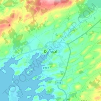
Name: Donegal topographic map, elevation, terrain.
Location: Donegal, County Donegal, Ireland (54.61437 -8.14985 54.69437 -8.06985)
Average elevation: 49 m
Minimum elevation: -1 m
Maximum elevation: 211 m