
Thank you for supporting this site ❤️
Make a donation
Make a donation
Makkum topographic map
Click on the map to display elevation.
Thank you for supporting this site ❤️
Make a donation
Make a donation
About this map
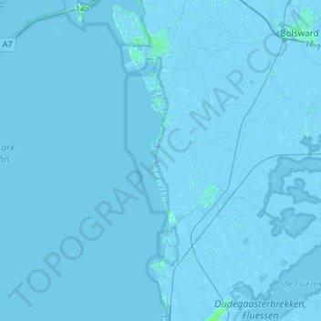
Name: Makkum topographic map, elevation, terrain.
Location: Makkum, Súdwest-Fryslân, Frise, Pays-Bas (52.91610 5.17069 53.07691 5.44297)
Average elevation: -1 m
Minimum elevation: -6 m
Maximum elevation: 7 m
Thank you for supporting this site ❤️
Make a donation
Make a donation
Other topographic maps
Click on a map to view its topography, its elevation and its terrain.