
Thank you for supporting this site ❤️
Make a donation
Make a donation
Saint Claire topographic map
Click on the map to display elevation.
Thank you for supporting this site ❤️
Make a donation
Make a donation
About this map
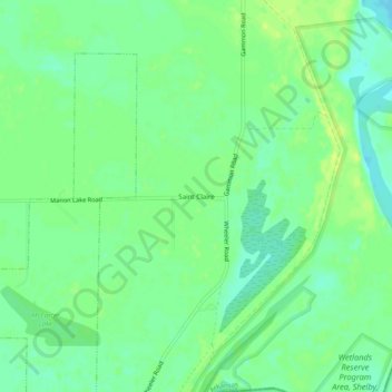
Name: Saint Claire topographic map, elevation, terrain.
Location: Saint Claire, Crittenden County, Arkansas, United States (35.19870 -90.13870 35.23870 -90.09870)
Average elevation: 66 m
Minimum elevation: 57 m
Maximum elevation: 75 m
Thank you for supporting this site ❤️
Make a donation
Make a donation