
Thank you for supporting this site ❤️
Make a donation
Make a donation
Lowell topographic map
Click on the map to display elevation.
Thank you for supporting this site ❤️
Make a donation
Make a donation
About this map
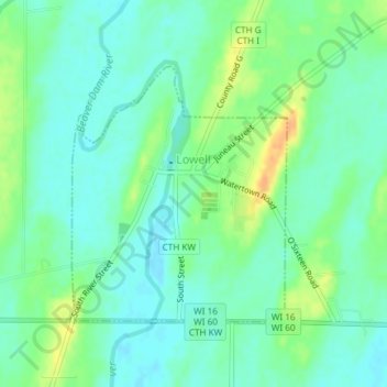
Name: Lowell topographic map, elevation, terrain.
Location: Lowell, Dodge County, Wisconsin, 53557, United States (43.32891 -88.82873 43.34678 -88.80804)
Average elevation: 251 m
Minimum elevation: 240 m
Maximum elevation: 273 m
Thank you for supporting this site ❤️
Make a donation
Make a donation
Other topographic maps
Click on a map to view its topography, its elevation and its terrain.