
Siner topographic map
Interactive map
Click on the map to display elevation.
About this map
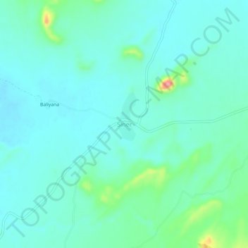
Name: Siner topographic map, elevation, terrain.
Location: Siner, Siwana Tehsil, Balotra District, Rajasthan, India (25.58688 72.24457 25.62688 72.28457)
Average elevation: 172 m
Minimum elevation: 152 m
Maximum elevation: 259 m