
Ramegoan topographic map
Interactive map
Click on the map to display elevation.
About this map
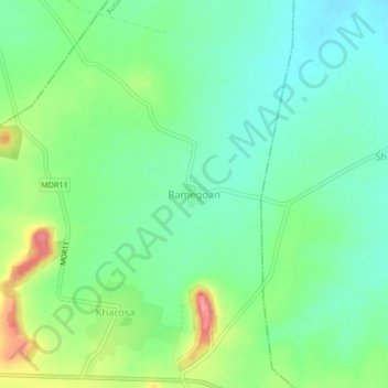
Name: Ramegoan topographic map, elevation, terrain.
Location: Ramegoan, Ausa, Latur, Maharashtra, 413521, Indien (18.15189 76.65760 18.19189 76.69760)
Average elevation: 629 m
Minimum elevation: 601 m
Maximum elevation: 684 m
Other topographic maps
Click on a map to view its topography, its elevation and its terrain.
Kharosa
Indien > Maharashtra > Ausa
Kharosa, Ausa, Latur, Maharashtra, 413521, Indien
Average elevation: 639 m