
Thank you for supporting this site ❤️
Make a donation
Make a donation
Beilen topographic map
Click on the map to display elevation.
Thank you for supporting this site ❤️
Make a donation
Make a donation
About this map
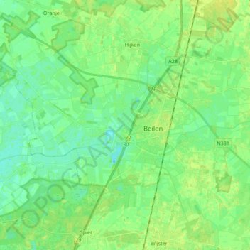
Name: Beilen topographic map, elevation, terrain.
Location: Beilen, Midden-Drenthe, Drenthe, Netherlands (52.82136 6.41329 52.90355 6.58058)
Average elevation: 14 m
Minimum elevation: 7 m
Maximum elevation: 21 m
Thank you for supporting this site ❤️
Make a donation
Make a donation