
Neufisching topographic map
Interactive map
Click on the map to display elevation.
About this map
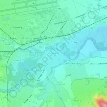
Name: Neufisching topographic map, elevation, terrain.
Location: Neufisching, Zeltweg, Bezirk Murtal, Styria, 8740, Austria (47.16503 14.73814 47.20503 14.77814)
Average elevation: 669 m
Minimum elevation: 637 m
Maximum elevation: 803 m