
Winden topographic map
Interactive map
Click on the map to display elevation.
About this map
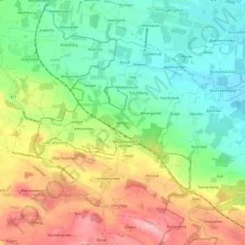
Name: Winden topographic map, elevation, terrain.
Location: Winden, Egnach, Bezirk Arbon, Thurgau, 9308, Schweiz (47.48613 9.33799 47.52613 9.37799)
Average elevation: 503 m
Minimum elevation: 429 m
Maximum elevation: 606 m