
San Rafael topographic map
Click on the map to display elevation.
About this map
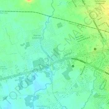
Name: San Rafael topographic map, elevation, terrain.
Location: San Rafael, San Pablo, Laguna, Calabarzon, 4000, Philippines (14.06362 121.29402 14.08086 121.31045)
Average elevation: 94 m
Minimum elevation: 80 m
Maximum elevation: 117 m
Other topographic maps
Click on a map to view its topography, its elevation and its terrain.