
Thank you for supporting this site ❤️
Make a donation
Make a donation
Dharasuram topographic map
Click on the map to display elevation.
Thank you for supporting this site ❤️
Make a donation
Make a donation
Dharasuram
Airavateswara Temple faces problems of inundation after every downpour. Unimaginative municipal planning has resulted in the temple being at a lower elevation than the surrounding roads. This results in inundation during rains.
Thank you for supporting this site ❤️
Make a donation
Make a donation
About this map
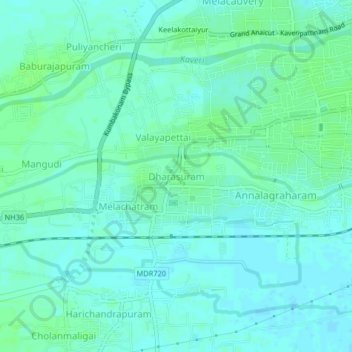
Name: Dharasuram topographic map, elevation, terrain.
Average elevation: 28 m
Minimum elevation: 24 m
Maximum elevation: 33 m
Thank you for supporting this site ❤️
Make a donation
Make a donation