
Petit-Waret topographic map
Interactive map
Click on the map to display elevation.
About this map
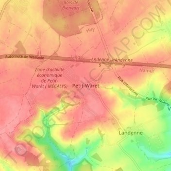
Name: Petit-Waret topographic map, elevation, terrain.
Location: Petit-Waret, Andenne, Namen, Wallonië, België (50.50522 5.02806 50.54522 5.06806)
Average elevation: 192 m
Minimum elevation: 126 m
Maximum elevation: 223 m