
Arnstadt topographic map
Interactive map
Click on the map to display elevation.
About this map
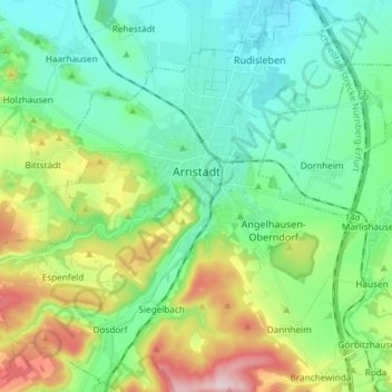
Name: Arnstadt topographic map, elevation, terrain.
Location: Arnstadt, Ilm-Kreis, Thüringen, Duitsland (50.78233 10.89683 50.87572 11.01031)
Average elevation: 338 m
Minimum elevation: 242 m
Maximum elevation: 586 m