
Pabo topographic map
Click on the map to display elevation.
About this map
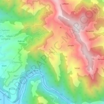
Name: Pabo topographic map, elevation, terrain.
Location: Pabo, Jogindarnagar, Mandi, Himachal Pradesh, 175040, India (31.82009 76.77411 31.86009 76.81411)
Average elevation: 1,038 m
Minimum elevation: 606 m
Maximum elevation: 1,533 m