
Fulertal topographic map
Interactive map
Click on the map to display elevation.
About this map
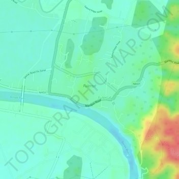
Name: Fulertal topographic map, elevation, terrain.
Location: Fulertal, Cachar, Assam, 788106, India (24.78011 93.01341 24.80157 93.03763)
Average elevation: 35 m
Minimum elevation: 11 m
Maximum elevation: 94 m