
Thank you for supporting this site ❤️
Make a donation
Make a donation
Muang Nong topographic map
Click on the map to display elevation.
Thank you for supporting this site ❤️
Make a donation
Make a donation
About this map
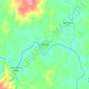
Name: Muang Nong topographic map, elevation, terrain.
Location: Muang Nong, Nong District, Savannakhet Province, Laos (16.33526 106.45829 16.41526 106.53829)
Average elevation: 278 m
Minimum elevation: 244 m
Maximum elevation: 363 m
Thank you for supporting this site ❤️
Make a donation
Make a donation