
Pudur topographic map
Interactive map
Click on the map to display elevation.
About this map
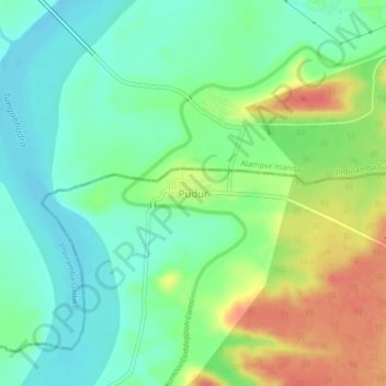
Name: Pudur topographic map, elevation, terrain.
Location: Pudur, Kurnool, Andhra Pradesh, 509152, India (15.83303 78.12668 15.87303 78.16668)
Average elevation: 282 m
Minimum elevation: 261 m
Maximum elevation: 316 m