
Natters topographic map
Interactive map
Click on the map to display elevation.
About this map
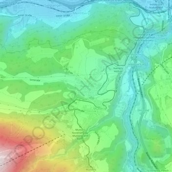
Name: Natters topographic map, elevation, terrain.
Location: Natters, Bezirk Innsbruck-Land, Tyrol, 6161, Austria (47.21369 11.35376 47.25369 11.39376)
Average elevation: 816 m
Minimum elevation: 576 m
Maximum elevation: 1,418 m