
Paravada topographic map
Interactive map
Click on the map to display elevation.
About this map
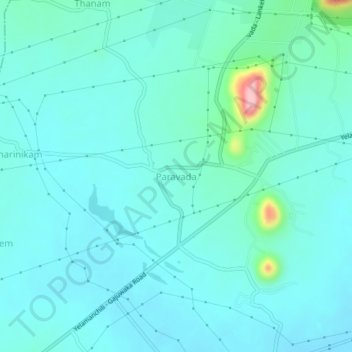
Name: Paravada topographic map, elevation, terrain.
Location: Paravada, Visakhapatnam, Andhra Pradesh, India (17.60815 83.05979 17.64815 83.09979)
Average elevation: 34 m
Minimum elevation: 8 m
Maximum elevation: 189 m