
Matthias topographic map
Interactive map
Click on the map to display elevation.
About this map
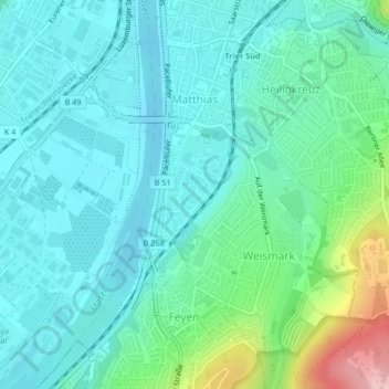
Name: Matthias topographic map, elevation, terrain.
Location: Matthias, Süd, Trier, Rhineland-Palatinate, Germany (49.72317 6.61875 49.74492 6.63685)
Average elevation: 161 m
Minimum elevation: 122 m
Maximum elevation: 310 m