
Nappalayam topographic map
Interactive map
Click on the map to display elevation.
About this map
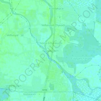
Name: Nappalayam topographic map, elevation, terrain.
Average elevation: 4 m
Minimum elevation: 0 m
Maximum elevation: 8 m
Other topographic maps
Click on a map to view its topography, its elevation and its terrain.
Temple Tank (Sri Varadharaja perumal Temple)
India > Tamil Nadu > Ponneri > Minjur
Average elevation: 7 m