
Thank you for supporting this site ❤️
Make a donation
Make a donation
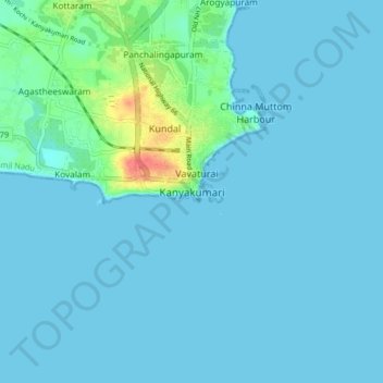
Kanyakumari topographic map
Click on the map to display elevation.
Thank you for supporting this site ❤️
Make a donation
Make a donation
Kanyakumari
Kanniyakumari is located at 8°05′N 77°34′E / 8.08°N 77.57°E / 8.08; 77.57 and has an average elevation of 30 metres. The peninsular tip of Kanniyakumari is bordered on three sides by the Laccadive Sea. It is located at the confluence of the Western Coastal Plains and Eastern Coastal Plains. The nearest city is Thiruvananthapuram, Kerala (85 km (53 mi) away), and the nearest town is Nagercoil, the administrative headquarters of Kanniyakumari district (22 km (14 mi) away).
Thank you for supporting this site ❤️
Make a donation
Make a donation
About this map
Name: Kanyakumari topographic map, elevation, terrain.
Average elevation: 6 m
Minimum elevation: 0 m
Maximum elevation: 55 m
Thank you for supporting this site ❤️
Make a donation
Make a donation