
Farahabad topographic map
Interactive map
Click on the map to display elevation.
About this map
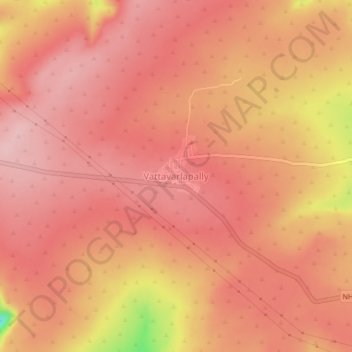
Name: Farahabad topographic map, elevation, terrain.
Location: Farahabad, Amrabad mandal, Nagarkurnool, Telangana, India (16.22756 78.77737 16.26756 78.81737)
Average elevation: 808 m
Minimum elevation: 674 m
Maximum elevation: 847 m