
Strategische Bahn Oschatz–Röderau topographic map
Interactive map
Click on the map to display elevation.
About this map
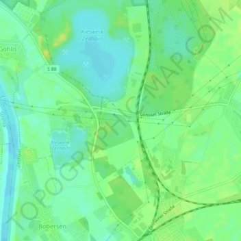
Name: Strategische Bahn Oschatz–Röderau topographic map, elevation, terrain.
Average elevation: 96 m
Minimum elevation: 88 m
Maximum elevation: 104 m
Other topographic maps
Click on a map to view its topography, its elevation and its terrain.
Neudorf
Deutschland > Sachsen > Zeithain > Neudorf
Neudorf, Zeithain, Meißen, Sachsen, 01619, Deutschland
Average elevation: 99 m