
Drogen topographic map
Interactive map
Click on the map to display elevation.
About this map
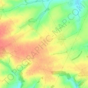
Name: Drogen topographic map, elevation, terrain.
Location: Drogen, Schmölln, Altenburger Land, Thüringen, Duitsland (50.90024 12.28322 50.92824 12.32449)
Average elevation: 268 m
Minimum elevation: 238 m
Maximum elevation: 288 m