
Locust Point topographic map
Interactive map
Click on the map to display elevation.
About this map
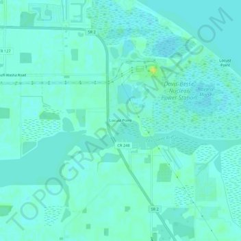
Name: Locust Point topographic map, elevation, terrain.
Location: Locust Point, Carroll Township, Ottawa County, Ohio, USA (41.56838 -83.11381 41.60838 -83.07381)
Average elevation: 174 m
Minimum elevation: 170 m
Maximum elevation: 186 m