
Montecillo topographic map
Click on the map to display elevation.
About this map
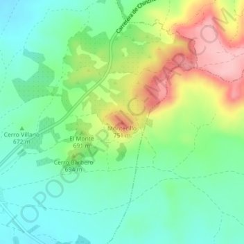
Name: Montecillo topographic map, elevation, terrain.
Location: Montecillo, Villaconejos, Community of Madrid, 28360, Spain (40.11221 -3.46212 40.11231 -3.46202)
Average elevation: 677 m
Minimum elevation: 624 m
Maximum elevation: 775 m