
Titlagarh topographic map
Interactive map
Click on the map to display elevation.
About this map
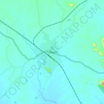
Name: Titlagarh topographic map, elevation, terrain.
Location: Titlagarh, Balangir, Odisha, 767033, India (20.24885 83.11520 20.32885 83.19520)
Average elevation: 210 m
Minimum elevation: 185 m
Maximum elevation: 416 m
Titilagarh is located at 20°18′N 83°09′E / 20.3°N 83.15°E / 20.3; 83.15. It has an average elevation of 215 metres (705 feet).