
Lanham topographic map
Interactive map
Click on the map to display elevation.
About this map
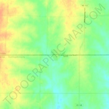
Name: Lanham topographic map, elevation, terrain.
Location: Lanham, Gage County, Nebraska, USA (39.98164 -96.89416 40.02164 -96.85416)
Average elevation: 429 m
Minimum elevation: 410 m
Maximum elevation: 447 m