
Schönthal topographic map
Interactive map
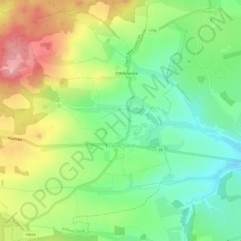
Click on the map to display elevation.
About this map
Name: Schönthal topographic map, elevation, terrain.
Average elevation: 659 m
Minimum elevation: 600 m
Maximum elevation: 743 m
Other topographic maps
Click on a map to view its topography, its elevation and its terrain.
Marienbad
Tschechien > Nordwesten > Karlsbader Region
Marienbad, Bezirk Eger, Karlsbader Region, Nordwesten, Tschechien
Average elevation: 704 m