
Okoto topographic map
Interactive map
Click on the map to display elevation.
About this map
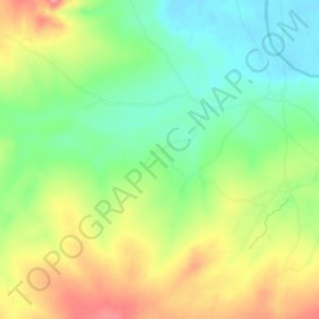
Name: Okoto topographic map, elevation, terrain.
Location: Okoto, Lokoja, Kogi, Nigeria (8.24667 6.54667 8.28667 6.58667)
Average elevation: 85 m
Minimum elevation: 44 m
Maximum elevation: 138 m