
Trenta topographic map
Interactive map
Click on the map to display elevation.
About this map
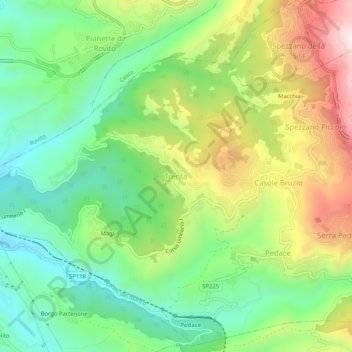
Name: Trenta topographic map, elevation, terrain.
Location: Trenta, Casali del Manco, Cosenza, Calabrië, 87059, Italië (39.26509 16.30140 39.30509 16.34140)
Average elevation: 560 m
Minimum elevation: 315 m
Maximum elevation: 953 m
Other topographic maps
Click on a map to view its topography, its elevation and its terrain.