
વાંઢ topographic map
Interactive map
Click on the map to display elevation.
About this map
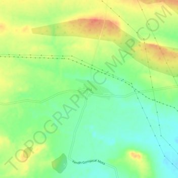
Name: વાંઢ topographic map, elevation, terrain.
Location: વાંઢ, Mandvi Taluka, Distrikt Kachchh, Gujarat, 370405, Indien (23.00516 69.38096 23.04516 69.42096)
Average elevation: 93 m
Minimum elevation: 70 m
Maximum elevation: 119 m
Other topographic maps
Click on a map to view its topography, its elevation and its terrain.
ગોધરા
Indien > Gujarat > Mandvi Taluka > ગોધરા
ગોધરા, Mandvi Taluka, Distrikt Kachchh, Gujarat, 370405, Indien
Average elevation: 30 m