
Thank you for supporting this site ❤️
Make a donation
Make a donation
Boone topographic map
Click on the map to display elevation.
Thank you for supporting this site ❤️
Make a donation
Make a donation
About this map
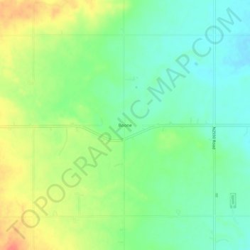
Name: Boone topographic map, elevation, terrain.
Location: Boone, Caddo County, Oklahoma, United States (34.87868 -98.48200 34.91868 -98.44200)
Average elevation: 426 m
Minimum elevation: 404 m
Maximum elevation: 460 m
Thank you for supporting this site ❤️
Make a donation
Make a donation
Other topographic maps
Click on a map to view its topography, its elevation and its terrain.