
四国地方 topographic map
Interactive map
Click on the map to display elevation.
About this map
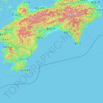
Name: 四国地方 topographic map, elevation, terrain.
Location: Prefectura de Kōchi, 四国地方, Japón (32.38446 132.21266 33.88336 134.54238)
Average elevation: 155 m
Minimum elevation: -2 m
Maximum elevation: 1,883 m