
Thank you for supporting this site ❤️
Make a donation
Make a donation
Dhawas topographic map
Click on the map to display elevation.
Thank you for supporting this site ❤️
Make a donation
Make a donation
About this map
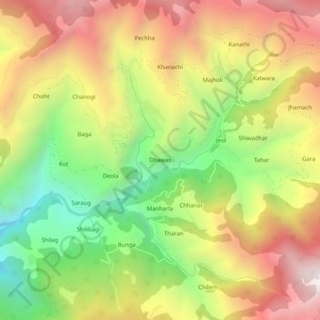
Name: Dhawas topographic map, elevation, terrain.
Location: Dhawas, Thunag, Mandi District, Himachal Pradesh, India (31.59028 77.19279 31.63028 77.23279)
Average elevation: 2,404 m
Minimum elevation: 1,733 m
Maximum elevation: 3,078 m
Thank you for supporting this site ❤️
Make a donation
Make a donation