
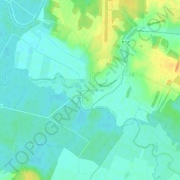
Broye-lès-Pesmes topographic map
Interactive map
Click on the map to display elevation.
About this map
Name: Broye-lès-Pesmes topographic map, elevation, terrain.
Average elevation: 193 m
Minimum elevation: 183 m
Maximum elevation: 215 m
Other topographic maps
Click on a map to view its topography, its elevation and its terrain.
Montseugny
France > Bourgogne-Franche-Comté > Haute-Saône > Broye-Aubigney-Montseugny > Montseugny
Montseugny, Broye-Aubigney-Montseugny, Vesoul, Haute-Saône, Bourgogne-Franche-Comté, France métropolitaine, France
Average elevation: 215 m