
Le Moulin de Billy topographic map
Interactive map
Click on the map to display elevation.
About this map
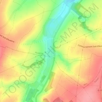
Name: Le Moulin de Billy topographic map, elevation, terrain.
Average elevation: 170 m
Minimum elevation: 117 m
Maximum elevation: 209 m
Other topographic maps
Click on a map to view its topography, its elevation and its terrain.
Auxerre
France > Bourgogne-Franche-Comté > Auxerre > Auxerre
Auxerre, Yonne, Bourgogne-Franche-Comté, France métropolitaine, 89000, France
Average elevation: 156 m