
Silver Plume topographic map
Interactive map
Click on the map to display elevation.
About this map
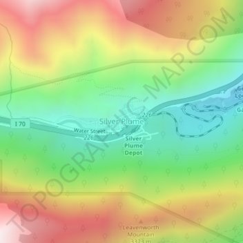
Name: Silver Plume topographic map, elevation, terrain.
Average elevation: 3,106 m
Minimum elevation: 2,671 m
Maximum elevation: 3,657 m
Other topographic maps
Click on a map to view its topography, its elevation and its terrain.
Mount Evans
Vereinigte Staaten von Amerika > Colorado > Clear Creek County
Mount Evans, Clear Creek County, Colorado, Vereinigte Staaten von Amerika
Average elevation: 4,006 m