
Thank you for supporting this site ❤️
Make a donation
Make a donation
McQueen topographic map
Click on the map to display elevation.
Thank you for supporting this site ❤️
Make a donation
Make a donation
About this map
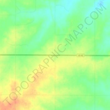
Name: McQueen topographic map, elevation, terrain.
Location: McQueen, Harmon County, Oklahoma, United States (34.64673 -99.72176 34.68673 -99.68176)
Average elevation: 464 m
Minimum elevation: 445 m
Maximum elevation: 484 m
Thank you for supporting this site ❤️
Make a donation
Make a donation
Other topographic maps
Click on a map to view its topography, its elevation and its terrain.