
Orisa topographic map
Interactive map
Click on the map to display elevation.
About this map
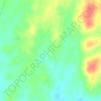
Name: Orisa topographic map, elevation, terrain.
Location: Orisa, Ife North, Osun, Nigeria (7.39667 4.38000 7.43667 4.42000)
Average elevation: 188 m
Minimum elevation: 165 m
Maximum elevation: 221 m