
Purola topographic map
Click on the map to display elevation.
About this map
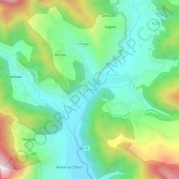
Name: Purola topographic map, elevation, terrain.
Location: Purola, Puraula, Uttarkashi, Uttarakhand, 249185, India (30.85870 78.06319 30.89870 78.10319)
Average elevation: 1,549 m
Minimum elevation: 1,317 m
Maximum elevation: 2,049 m