
Thank you for supporting this site ❤️
Make a donation
Make a donation
Sonkheda topographic map
Click on the map to display elevation.
Thank you for supporting this site ❤️
Make a donation
Make a donation
About this map
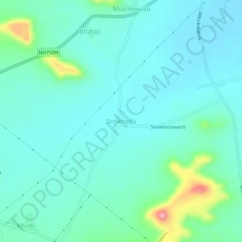
Name: Sonkheda topographic map, elevation, terrain.
Location: Sonkheda, Khuldabad, Aurangabad, Maharashtra, 431101, India (19.99084 75.22215 20.03084 75.26215)
Average elevation: 707 m
Minimum elevation: 682 m
Maximum elevation: 816 m
Thank you for supporting this site ❤️
Make a donation
Make a donation
Other topographic maps
Click on a map to view its topography, its elevation and its terrain.