
Thank you for supporting this site ❤️
Make a donation
Make a donation
Punta Rocca topographic map
Click on the map to display elevation.
Thank you for supporting this site ❤️
Make a donation
Make a donation
About this map
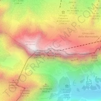
Name: Punta Rocca topographic map, elevation, terrain.
Location: Punta Rocca, Rocca Pietore, Belluno, Veneto, Italy (46.43433 11.85642 46.43443 11.85652)
Average elevation: 2,659 m
Minimum elevation: 1,922 m
Maximum elevation: 3,329 m
Thank you for supporting this site ❤️
Make a donation
Make a donation