
Cité El Afak topographic map
Interactive map
Click on the map to display elevation.
About this map
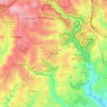
Name: Cité El Afak topographic map, elevation, terrain.
Location: Cité El Afak, El Achour, Daïra Draria, Alger, 16104, Algérie (36.70798 2.98768 36.74798 3.02768)
Average elevation: 192 m
Minimum elevation: 88 m
Maximum elevation: 265 m