
Nandura topographic map
Interactive map
Click on the map to display elevation.
About this map
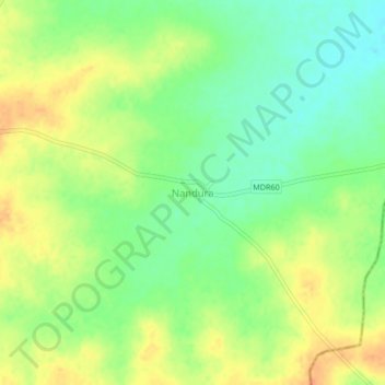
Name: Nandura topographic map, elevation, terrain.
Location: Nandura, Mangalvedhe, Solapur, Maharashtra, India (17.42125 75.57517 17.46125 75.61517)
Average elevation: 453 m
Minimum elevation: 434 m
Maximum elevation: 471 m