
Nänikon topographic map
Interactive map
Click on the map to display elevation.
About this map
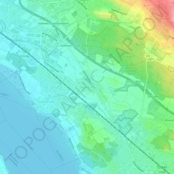
Name: Nänikon topographic map, elevation, terrain.
Location: Nänikon, Uster, Bezirk Uster, Zürich, 8606, Schweiz (47.34961 8.67237 47.38961 8.71237)
Average elevation: 463 m
Minimum elevation: 433 m
Maximum elevation: 565 m