
Thank you for supporting this site ❤️
Make a donation
Make a donation
Knuckles topographic map
Click on the map to display elevation.
Thank you for supporting this site ❤️
Make a donation
Make a donation
About this map
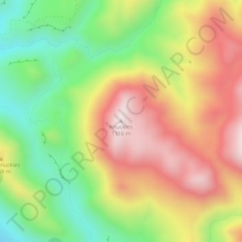
Name: Knuckles topographic map, elevation, terrain.
Location: Knuckles, Selwyn District, Canterbury, New Zealand (-43.23755 171.58400 -43.23745 171.58410)
Average elevation: 980 m
Minimum elevation: 659 m
Maximum elevation: 1,313 m
Thank you for supporting this site ❤️
Make a donation
Make a donation