
Harrison Bay topographic map
Interactive map
Click on the map to display elevation.
About this map
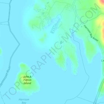
Name: Harrison Bay topographic map, elevation, terrain.
Location: Harrison Bay, Lake Crest, Hamilton County, Tennessee, USA (35.16098 -85.12395 35.16299 -85.12203)
Average elevation: 210 m
Minimum elevation: 201 m
Maximum elevation: 272 m