
Floyds Fork topographic map
Interactive map
Click on the map to display elevation.
About this map
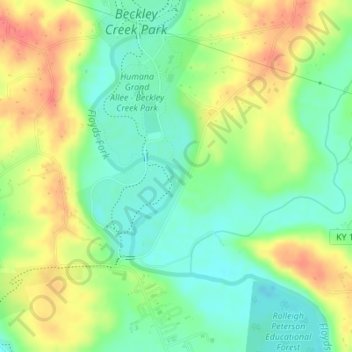
Name: Floyds Fork topographic map, elevation, terrain.
Average elevation: 191 m
Minimum elevation: 164 m
Maximum elevation: 225 m
Other topographic maps
Click on a map to view its topography, its elevation and its terrain.
Beargrass Creek
USA > Kentucky > Louisville
Beargrass Creek, Louisville, Jefferson County, Kentucky, USA
Average elevation: 143 m